Can Pere Antoni auf Google Maps: https://goo.gl/maps/wRdvn2bYSRz /
© Sindy Greger / aus dem Fotowettbewerb Mallorca – Foto des Jahres 2017

Can Pere Antoni auf Google Maps: https://goo.gl/maps/wRdvn2bYSRz /
© Sindy Greger / aus dem Fotowettbewerb Mallorca – Foto des Jahres 2017

Torrent de Pareis auf Google Maps: https://goo.gl/maps/hSrVz /
© Eva-Maria Martin / aus dem Fotowettbewerb Mallorca – Foto des Jahres 2017
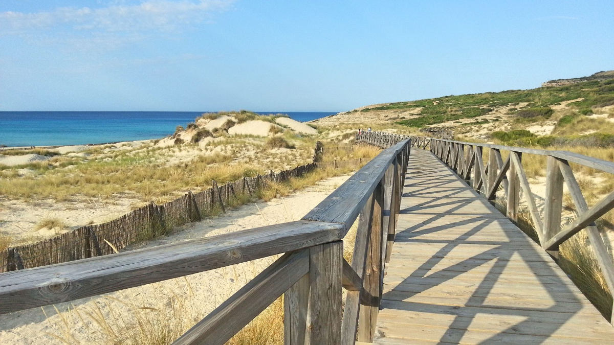
Cala Mesquida auf Google Maps: https://goo.gl/maps/BLGlC /
© Daraka / aus dem Fotowettbewerb Mallorca – Foto des Jahres 2017

Mirador Penya del Migdia auf Google Maps: https://goo.gl/maps/yzUBbJ7Dx5C2 /
© Andre Leonhardt / aus dem Fotowettbewerb Mallorca – Foto des Jahres 2017
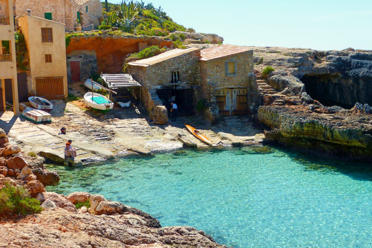
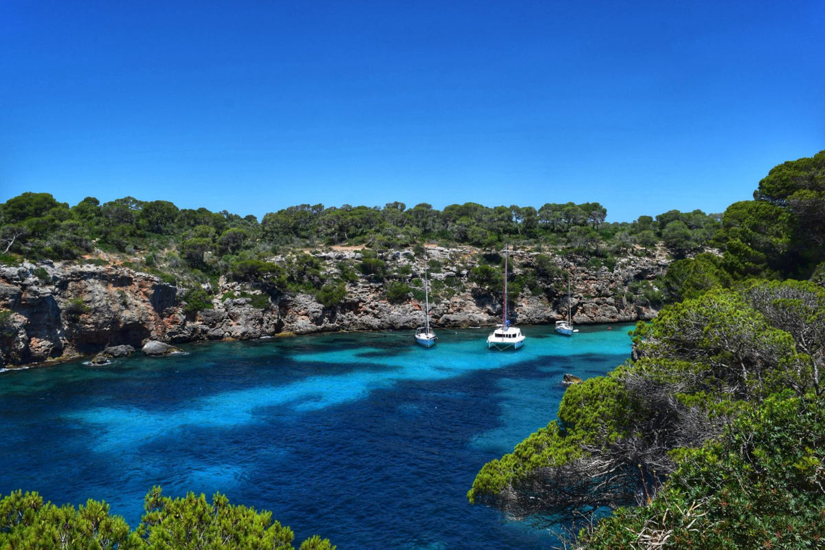
Cala S’Almunia auf Google Maps: https://goo.gl/maps/cN3tL /
© Daraka / aus dem Fotowettbewerb Mallorca – Foto des Jahres 2017

Playa de Palma auf Google Maps: https://goo.gl/maps/5dfdr /
© Sindy Greger / aus dem Fotowettbewerb Mallorca – Foto des Jahres 2017
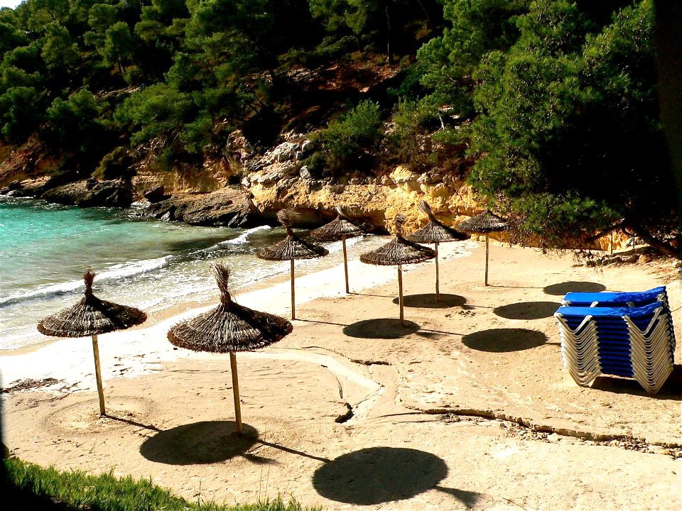
Strandart: Sand
Zugang: sanft abfallend
Länge: 25 m
Breite: 15 m
Auslastung: hoch
Besucht überwiegend von: Einheimische und Touristen
Karte und Routenplaner:
Erreichbarkeit: zu Fuß, mit dem Auto, per Schiff
Parkplatz: oberhalb des Strandes
Behindertenzugang: ja
Geeignet für Kinder: ja
Ankerzone: ja
Rettungsschwimmer: nein
Wellengang: ruhiger Wellengang
FKK: ja
Sonstiges: Liegen- & Schirmverleih, Restaurant, Toiletten
Andere Namen: Portals Vells II, Platja del Mago
Mehr Infos: Im offiziellen Strandführer der Balearen
Foto oben: © Petra Gänßmantel / Aus dem Fotowettbewerb Mallorca – Foto des Jahres / Alle Rechte vorbehalten /

Cala Marmols auf Google Maps: https://goo.gl/maps/J95SZ /
© Matthias Paetzold / aus dem Fotowettbewerb Mallorca – Foto des Jahres 2017
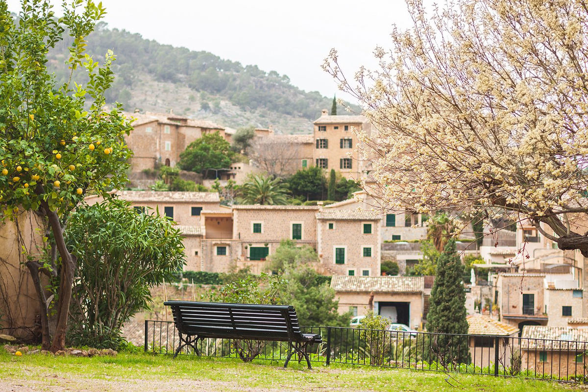
Deià auf Google Maps: https://goo.gl/maps/38sr9 /
© Nicole Reppe / aus dem Fotowettbewerb Mallorca – Foto des Jahres 2017
Cala Pi auf Google Maps: https://goo.gl/maps/sFmIh /
© Mel Wi / aus dem Fotowettbewerb Mallorca – Foto des Jahres 2017