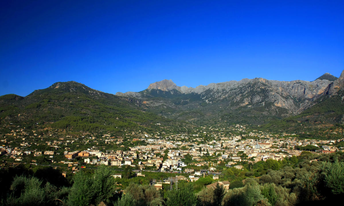
203/365 Blick auf Sóller
Sóller auf Google Maps: https://goo.gl/maps/tmHcR / © Anilah / Shutterstock.com
Sóller auf Google Maps: https://goo.gl/maps/tmHcR / © Anilah / Shutterstock.com
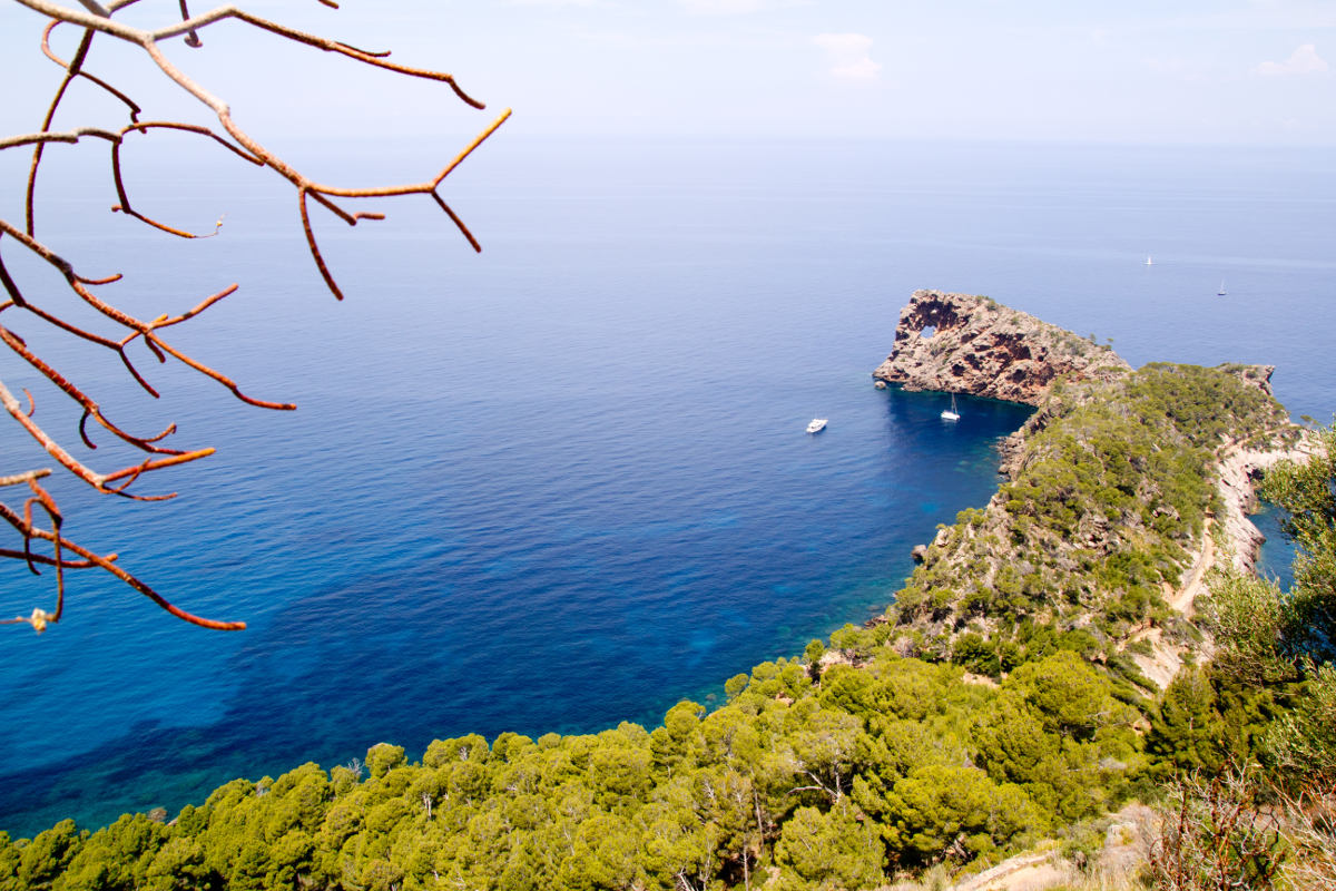
Sa Foradada auf Google Maps: https://goo.gl/maps/X2Xz5 / © holbox / Shutterstock.com
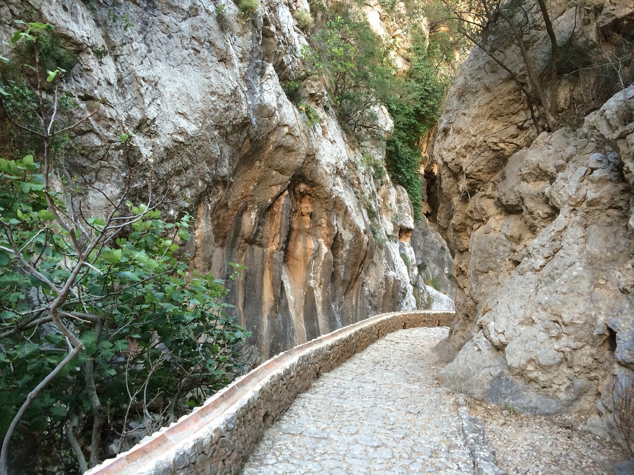
Die wildromantische Schlucht von Biniaraix (Barranc de Biniaraix) liegt etwa zwei Kilometer östlich oberhalb des Tales von Sóller. Die Schlucht schlängelt sich durch vor Jahrhunderten von den Arabern bis fast an die Gipfel reichende Olivenhaine und ist eine der großartigsten Naturlandschaften auf Mallorca. Der teilweise gepflasterte Weg durch die Schlucht wurde bereits im Mittelalter als […]

Sa Calobra auf Google Maps: https://goo.gl/maps/Yp1WJ / © holbox / Shutterstock.com

Traumhaft schöne Wanderung durch das einzigartige Bergpanorama der Serra de Tramuntana hinauf zum „Tausender“ Puig l’Ofre (1.093 m) Unterhalb des Puig Major, mit 1.445 Metern der höchste Berg Mallorcas, liegt in einer Höhe von 750 Metern das Embassament de Cúber. Der tiefblaue Stausee und der nordöstlich von ihm gelegene Nachbarsee Gorg Blau, dienen der Trinkwasserversorgung […]
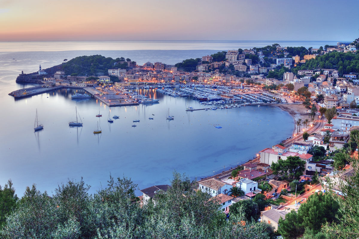
Wunderbarer Rundwanderweg mit vielen schönen Ausblicken auf Port de Sóller und das Meer! Gutes Schuhwerk ist auf diesem teilweise sehr steinigen Weg unbedingt erforderlich! Lasst Euch am besten von der Komoot-App durch die herrliche Natur der Serra de Tramuntana führen. Unterwegs geht vorbei an Oliven-, Mandel-, Orangen- und Zitronenbäumen und wir treffen Schafe, Ziegen und […]

Valldemossa auf Google Maps: https://goo.gl/maps/VVTmK / © Veronika Galkina / Shutterstock.com

Valldemossa auf Google Maps: https://goo.gl/maps/VVTmK / © Rolf E. Staerk / Shutterstock.com
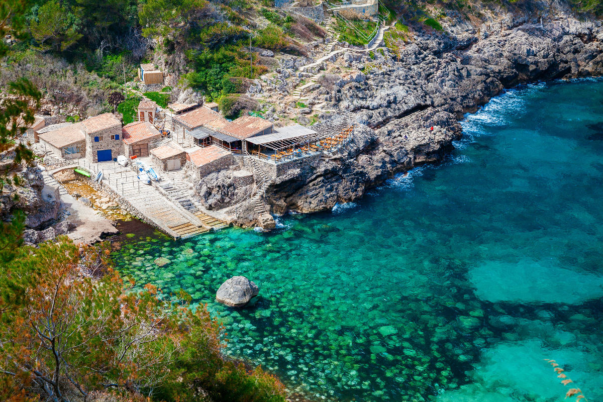
Cala Deià auf Google Maps: https://goo.gl/maps/4Y0aD / © Anna Lurye / Shutterstock.com

Son Marroig auf Google Maps: https://goo.gl/maps/5g5tH / © holbox / Shutterstock.com