Port de Pollença auf Google Maps: https://goo.gl/maps/MkHYI /
© Javier Garcia / Shutterstock.com

Port de Pollença auf Google Maps: https://goo.gl/maps/MkHYI /
© Javier Garcia / Shutterstock.com

Mallorca vor 50 Jahren. Unterwegs mit einem Fiat 500 auf der Insel im Jahr 1964.

Portocolom auf Google Maps: https://goo.gl/maps/1LcHj /
© holbox / Shutterstock.com

Castell de Capdepera auf Google Maps: https://goo.gl/maps/UqRy6 /
© Anna Lurye / Shutterstock.com
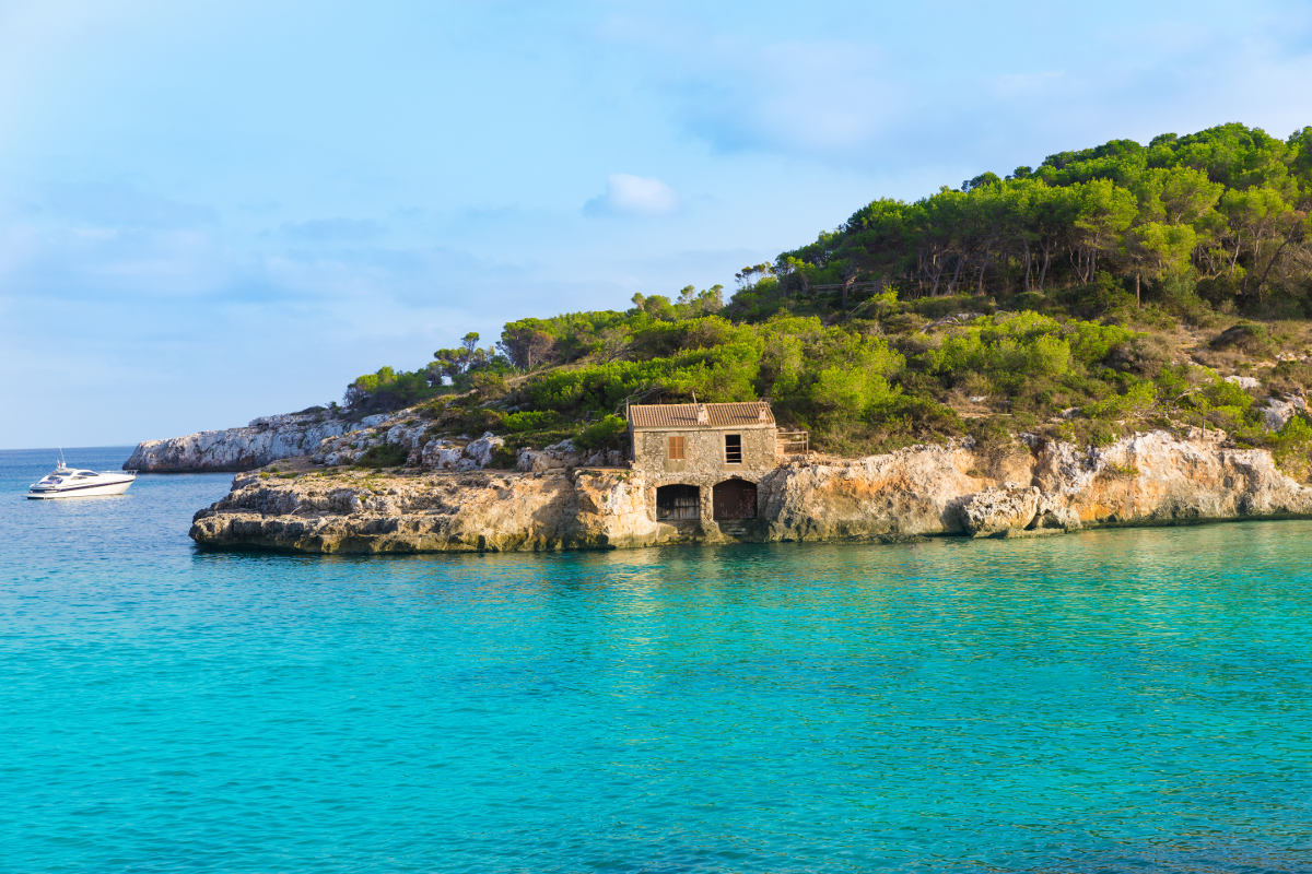
S’Amarador (Cala Mondragó) auf Google Maps: https://goo.gl/maps/WVmnv /
© holbox / Shutterstock.com
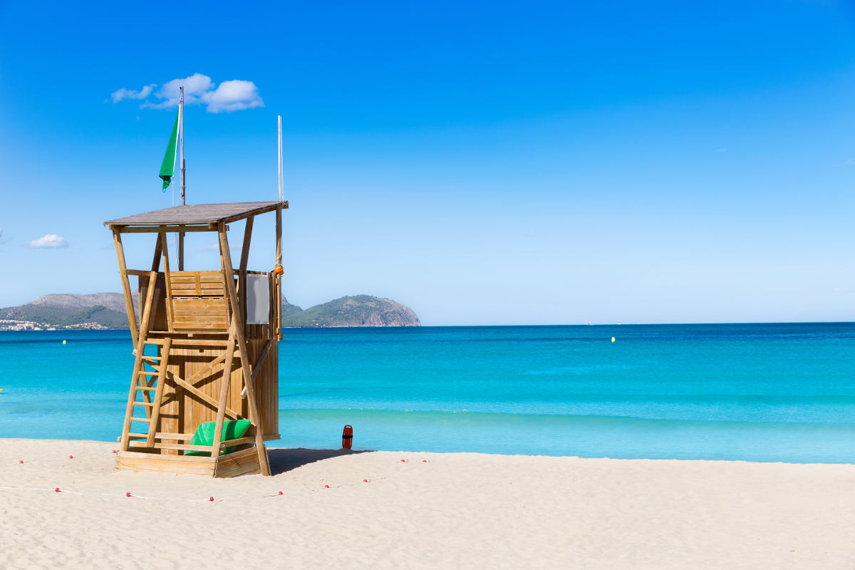
Can Picafort auf Google Maps: https://goo.gl/maps/wS3Z6 /
© holbox / Shutterstock.com

Cala Figuera auf Google Maps: https://goo.gl/maps/zqlR6 /
© Rolf E. Staerk / Shutterstock.com

Santanyí auf Google Maps: https://goo.gl/maps/ud4WF /
© holbox / Shutterstock.com

S’Arenal auf Google Maps: https://goo.gl/maps/dTbQy /
© holbox / Shutterstock.com
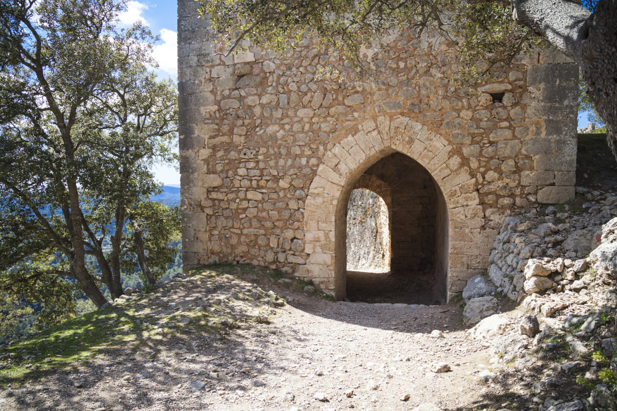
Castell d’Alaró auf Google Maps: https://goo.gl/maps/d5iBz /
© Hartmut Albert / Shutterstock.com