
284/365 GR 221 Fernwanderweg
© Florian Schuetz / Shutterstock.com

© Florian Schuetz / Shutterstock.com
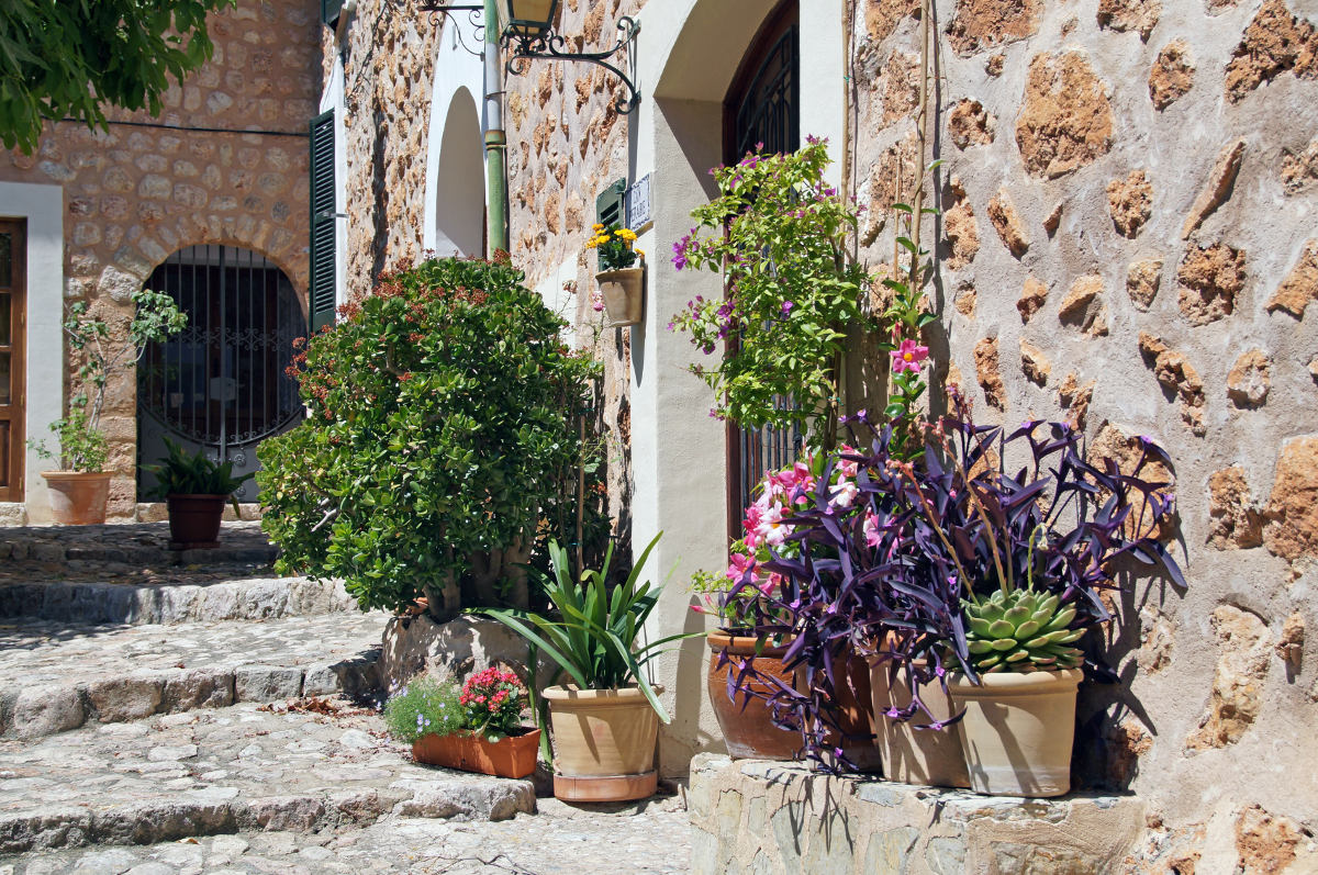
Fornalutx auf Google Maps: https://goo.gl/maps/ZUThi / © Alan Kraft / Shutterstock.com

Valldemossa auf Google Maps: https://goo.gl/maps/VVTmK / © Eo naya / Shutterstock.com

Deià auf Google Maps: https://goo.gl/maps/38sr9 / © Hartmut Albert / Shutterstock.com

Valldemossa auf Google Maps: https://goo.gl/maps/VVTmK / © Sergey Kelin / Shutterstock.com

Port de Sóller auf Google Maps: https://goo.gl/maps/EEsYM / © Boris Stroujko / Shutterstock.com

Deià auf Google Maps: https://goo.gl/maps/38sr9 / © Hartmut Albert / Shutterstock.com

Die Hänge der Tramuntanaberge wurden durch das Anlegen von Terrassen von den Mauren in landwirtschaftliche Nutzfläche verwandelt Dafür wurde aufgeschüttete Erde durch Trockensteinmauern (ohne Mörtel) gehalten und gestützt. So entstand sicheres Pflanzland für Olivenbäume und auch an die Bewässerung haben die Muselmanen gedacht. Steinerne Kanäle, über oder unter der Erde, transportieren das wertvolle Regenwasser von […]

Sa Calobra auf Google Maps: https://goo.gl/maps/Yp1WJ / © Daniel Zuppinger / Shutterstock.com

Kloster Lluc auf Google Maps: https://goo.gl/maps/jTWTKsrVuSP2 / © Masterovoy / Shutterstock.com