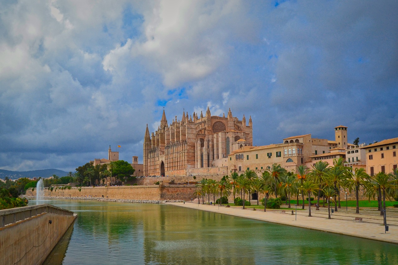
Kathedrale La Seu auf Google Maps: https://goo.gl/maps/4XWWm /
© Thomas H. auf Pixabay
Kathedrale La Seu auf Google Maps: https://goo.gl/maps/4XWWm /
© Thomas H. auf Pixabay
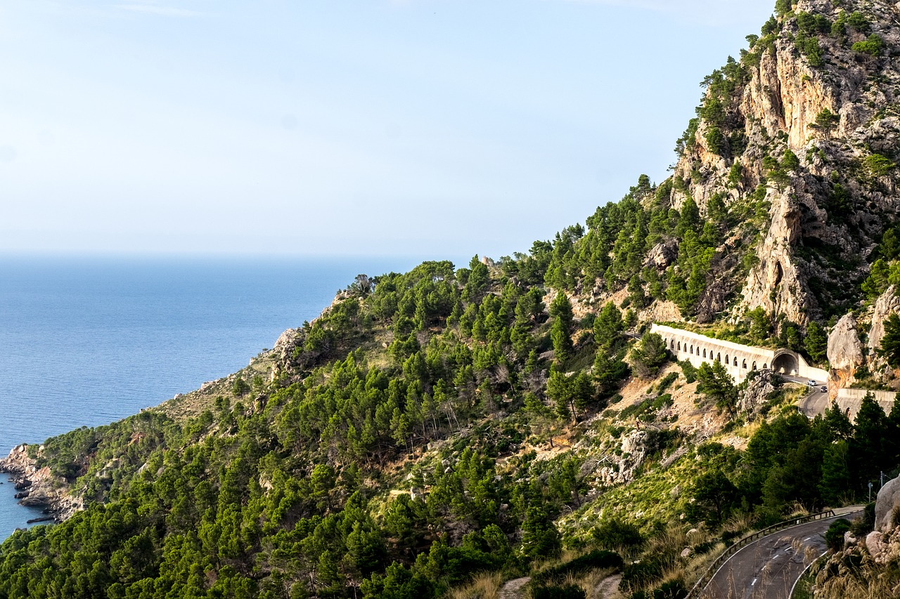
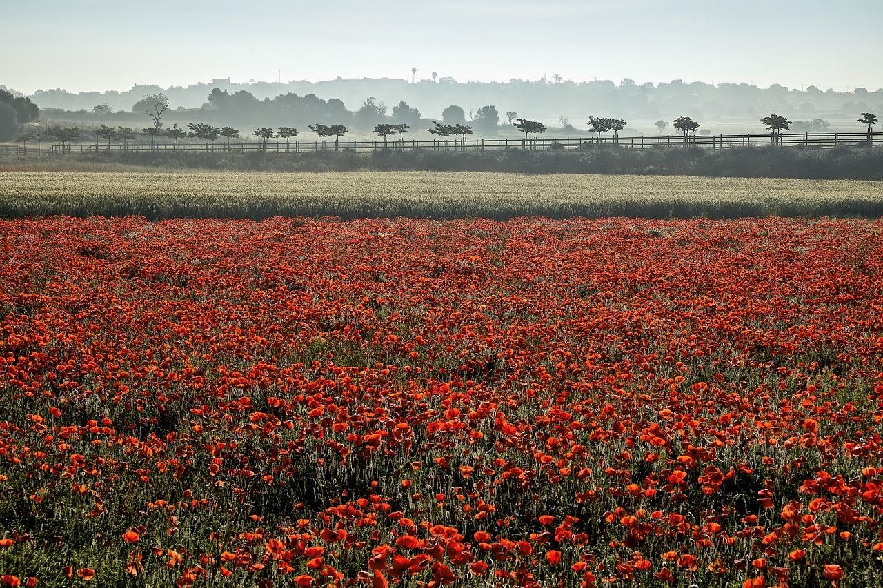
Westküste auf Google Maps: https://goo.gl/maps/Yp1WJ /
© Frederic Willocq auf Pixabay
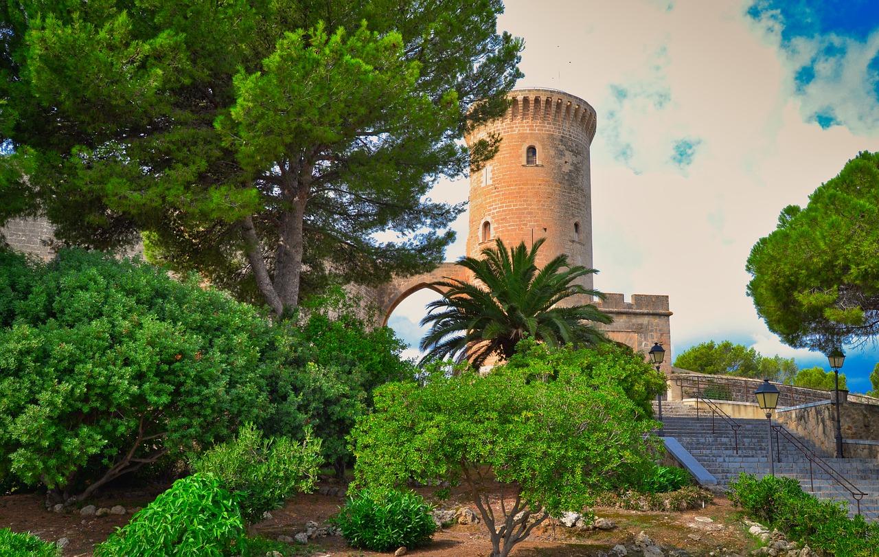
Castell de Bellver auf Google Maps: https://goo.gl/maps/B8sqCvHRgdR2 /
© Thomas H. auf Pixabay

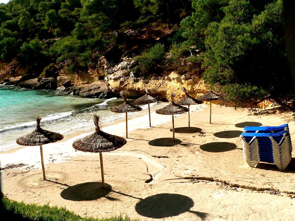
Porto Cristo auf Google Maps: https://goo.gl/maps/psGQY /
© kimberley517407 auf Pixabay
Nackedeis am Strand des Magiers. Playa Mago: früher Filmkulisse, heute Mallorcas FKK-Strand Nummer eins
Wer den Küstenabschnitt zwischen den beiden Urbanisationen Sol de Mallorca und Portals Vells am Südwestzipfel Mallorcas von der Luft aus betrachtet, sieht drei Finger einer riesigen Hand, die sich in die Insel bohren. „Dreifinger-Bucht“ werden aus diesem Grund die drei schmalen, langgestreckten Calas genannt.
Die Mittlere beherbergt die Playa Mago, die 1967 bei den Dreharbeiten…
Mehr im Bericht der Mallorca Zeitung…
Foto: © Petra Gänßmantel aus Mallorca – Foto des Jahres / Alle Rechte vorbehalten /
© Bernd Petrikat auf Pixabay

© Claude Ries / aus dem Fotowettbewerb Mallorca – Foto des Jahres 2018 / Alle Rechte vorbehalten /

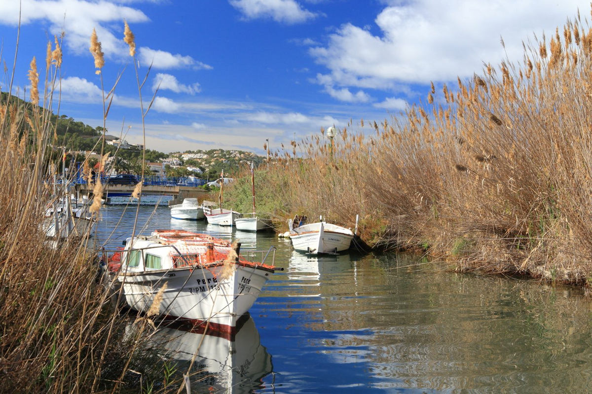
Colònia de Sant Jordi auf Google Maps: https://goo.gl/maps/dM3FW /
© Heinz Paul Bretz / aus dem Fotowettbewerb Mallorca – Foto des Jahres 2018 / Alle Rechte vorbehalten /

Cap Formentor auf Google Maps: https://goo.gl/maps/2C0Xb /
© Der_Denny / aus dem Fotowettbewerb Mallorca – Foto des Jahres 2018 / Alle Rechte vorbehalten /
Port d’Andratx auf Google Maps: https://goo.gl/maps/Lok3p /
© Claude Ries / aus dem Fotowettbewerb Mallorca – Foto des Jahres 2018 / Alle Rechte vorbehalten /