
299/365 Sa Calobra
Sa Calobra auf Google Maps: https://goo.gl/maps/Yp1WJ / © Balakate / Shutterstock.com

Sa Calobra auf Google Maps: https://goo.gl/maps/Yp1WJ / © Balakate / Shutterstock.com

Mit Andrea von Melüh Fotografie unterwegs zum Torre de sa Mola de Tuent: Unterhalb des Puig Major, der mit seinen 1.445 Metern der höchste Berg der Serra de Tramuntana ist, liegt die Cala Tuent mit ihrem kiesigen Strand. Oberhalb dieser Bucht haben wir uns den Torre de sa Mola de Tuent als Wanderziel ausgesucht. Der […]

Valldemossa auf Google Maps: https://goo.gl/maps/VVTmK / © Gyuszko Photo / Shutterstock.com

Deià auf Google Maps: https://goo.gl/maps/38sr9 / © Pawel Kazmierczak / Shutterstock.com
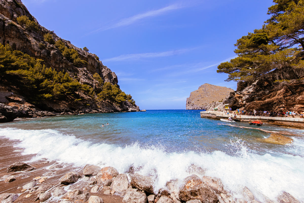
Sa Calobra auf Google Maps: https://goo.gl/maps/Yp1WJ / © gn fotografie / Shutterstock.com

Torrent de Pareis auf Google Maps: https://goo.gl/maps/hSrVz / © gn fotografie / Shutterstock.com

Deià auf Google Maps: https://goo.gl/maps/38sr9 / © gumbao / Shutterstock.com
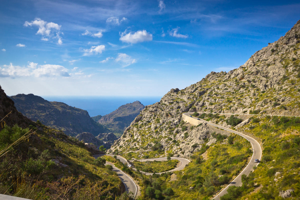
Sa Calobra auf Google Maps: https://goo.gl/maps/Yp1WJ / © mffoto / Shutterstock.com

Torre des Verger auf Google Maps: https://goo.gl/maps/NcSVO / © Sergey Kilin / Shutterstock.com

Valldemossa auf Google Maps: https://goo.gl/maps/VVTmK / © Gyuszko Photo / Shutterstock.com