
079/365 Torrent de Pareis
Torrent de Pareis auf Google Maps: https://goo.gl/maps/hSrVz / © mffoto / Shutterstock.com

Torrent de Pareis auf Google Maps: https://goo.gl/maps/hSrVz / © mffoto / Shutterstock.com

Son Marroig auf Google Maps: https://goo.gl/maps/5g5tH / © mffoto / Shutterstock.com

Banyalbufar auf Google Maps: https://goo.gl/maps/ZMp3fKwQND32 / © alexilena / Shutterstock.com
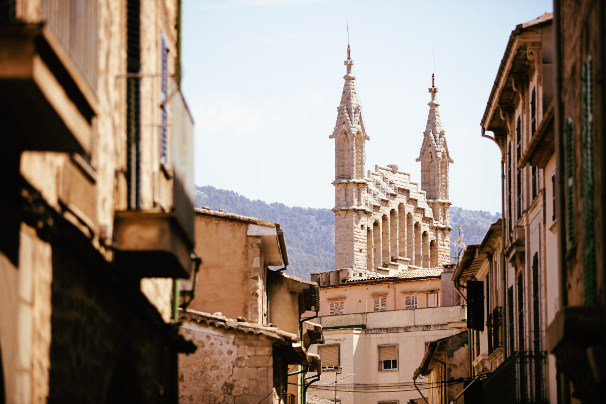
Sóller auf Google Maps: https://goo.gl/maps/tmHcR / © gn fotografie / Shutterstock.com

Sa Calobra auf Google Maps: https://goo.gl/maps/Yp1WJ / © gn fotografie / Shutterstock.com

Westküste auf Google Maps: https://goo.gl/maps/Yp1WJ / © mffoto / Shutterstock.com

Sa Calobra auf Google Maps: https://goo.gl/maps/Yp1WJ / © Markus Beck / Shutterstock.com

Fornalutx auf Google Maps: https://goo.gl/maps/ZUThi / © v.schlichting / Shutterstock.com

Fornalutx auf Google Maps: https://goo.gl/maps/ZUThi / © v.schlichting / Shutterstock.com
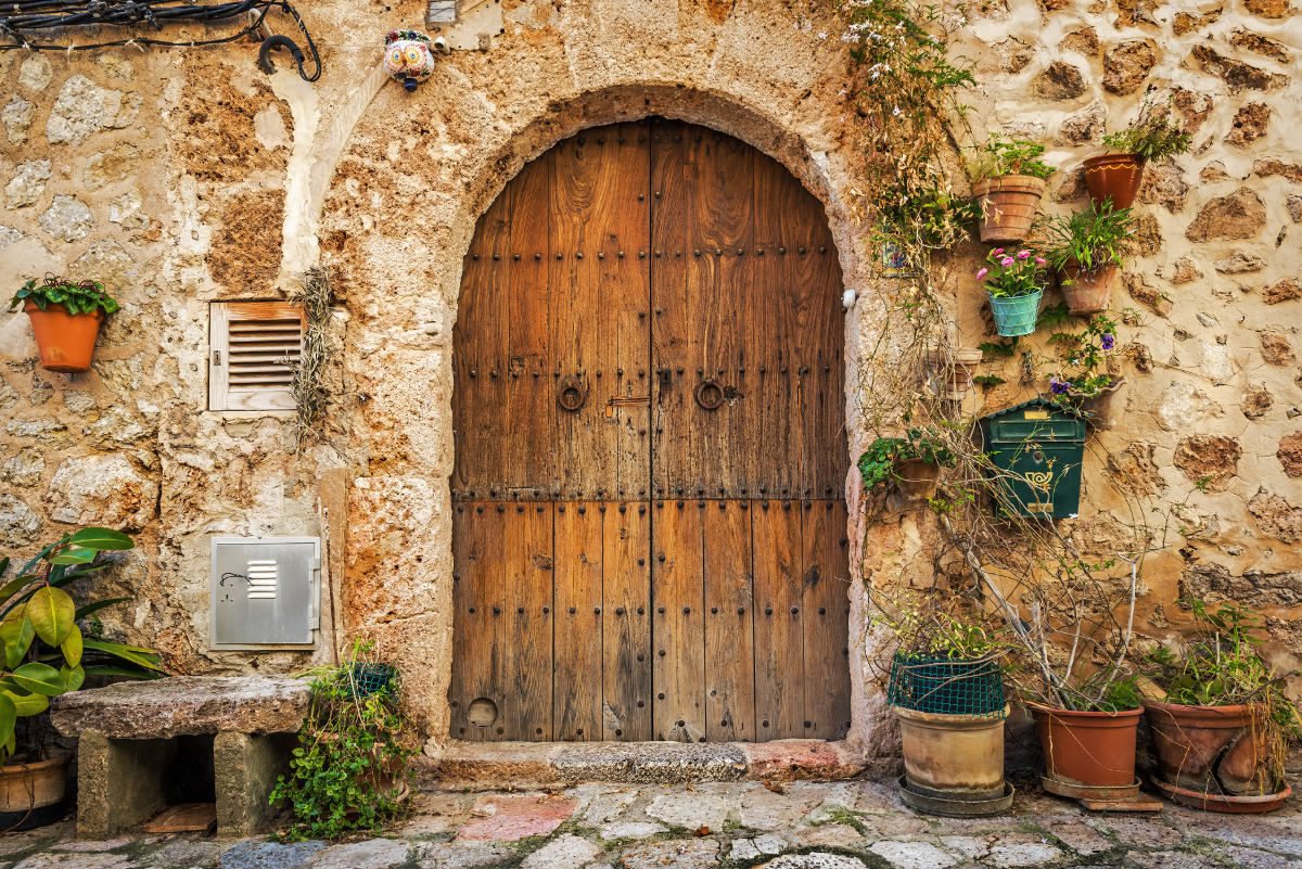
Valldemossa auf Google Maps: https://goo.gl/maps/VVTmK / © Ppictures / Shutterstock.com