
171/366 Nus de sa Corbata („Krawattenknoten“)
Nus de sa Corbata („Krawattenknoten“) auf Google Maps: https://goo.gl/maps/mvcgWz1Ck9o / Foto: Stefan Kunze auf Unsplash
Nus de sa Corbata („Krawattenknoten“) auf Google Maps: https://goo.gl/maps/mvcgWz1Ck9o / Foto: Stefan Kunze auf Unsplash
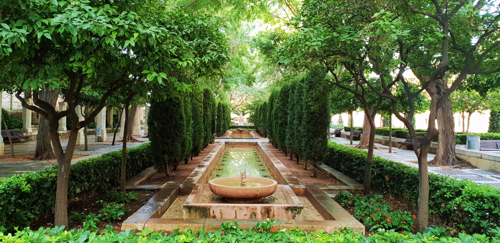
S’Hort del Rei (Palma de Mallorca) auf Google Maps: https://goo.gl/maps/eZCwO / Foto: Magdalena Klaya auf Unsplash

Pollença auf Google Maps: https://goo.gl/maps/el8js / Foto: Frank Eiffert auf Unsplash

Castell de Bellver auf Google Maps: https://goo.gl/maps/B8sqCvHRgdR2 / Foto von Robert Keane auf Unsplash
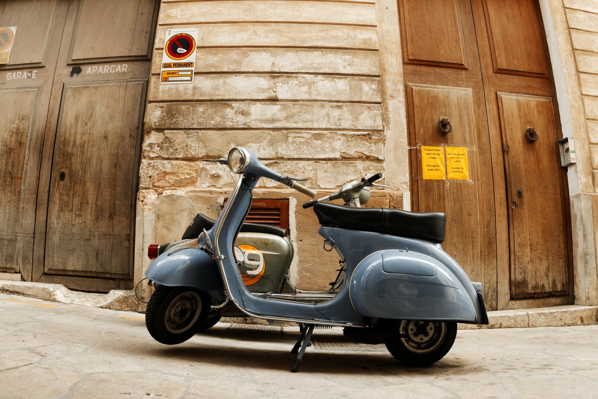
Palma auf Google Maps: https://goo.gl/maps/K08ny / Foto: Darko Pribeg auf Unsplash

Alcúdia auf Google Maps: https://goo.gl/maps/pNV1L / Foto von Thomas Marchand auf Unsplash

Cala Mesquida auf Google Maps: https://goo.gl/maps/BLGlC / Foto von Max auf Unsplash

Cuevas del Drach (Drachenhöhlen) auf Google Maps: https://goo.gl/maps/Z77t9 / Foto: Nnathalie Buss auf Unsplash

Cala Tuent auf Google Maps: https://goo.gl/maps/4TQky / Foto von Stefan Kunze auf Unsplash

Playa de Sant Pere auf Google Maps: https://goo.gl/maps/s3komBxH2VjvMZN4A / Foto: Karin Hiselius auf Unsplash